
Plainfield Previous Resident Sources
A backward search needs sources from several eras because no single Plainfield roll covers the whole life of an address. County deeds establish legal transfers. Assessor and GIS records locate the present parcel. Directories and census schedules can identify occupants, while maps, permits, newspapers, cemetery records, and obituaries add dated context. The source date and the relationship shown must stay with each finding.
| Source | Known span | Access point | Evidence supplied |
|---|---|---|---|
| Will Recorder online documents | Generally 1965 to current | Direct Search and Recorder office | Transfers and recorded instruments |
| Will grantor/grantee index | 1835 to 1885 | PAPL/WCPHH | Names, page context, original images |
| Kendall parcel history | 1994-12-01 to 2026-07-13 layer extent | Kendall GIS | Current and retired parcels plus document leads |
| Kendall Recorder | Remote cutoff not located | Yorkville research room | Deeds, liens, mortgages, and plats |
| Plainfield/Lockport directories | 1973 to 1993 | Plainfield Area Public Library | Historical name and street ties |
| Regional Joliet directories | 1900, 1927, 1932, 1966 to current | PAPL and regional holdings | Regional name and address context |
| Local phone directories | About 1924 to 1956 | PAPL | Telephone and address associations |
| Federal census | Local microfilm lists 1820 and 1840 to 1930 | PAPL and federal repositories | Historic households and enumeration context |
| Plainfield Enterprise | 1893 to present, incomplete runs | PAPL microfilm and digital archive | Notices, obituaries, and property events |
| Building permits | Current portal; cutoff not stated | Will Land Use and Village Building | Dated permit and application trail |
For recent decades, start with the county parcel and newest deed. For an early Will-side property, the library’s digitized grantor/grantee index and county atlases become essential once the online Recorder window ends. A directory entry can show occupancy but is not a deed. A permit can date work, yet the applicant need not be the owner or a resident.
Start With the Plainfield Parcel
The first question is jurisdiction. Check the Village boundary, then find the parcel in Will County or Kendall County. On the Will side, capture the PIN, legal description, site address, owner field, and assessment date from the Supervisor of Assessments. On the Kendall side, use Devnet and the GIS map to capture the current or retired PIN, site address, effective dates, and document fields.
Kendall’s parcel layer is especially helpful when land was divided or combined. “Created by Document” and “Retired by Document” point to the recorded instruments that changed the parcel. They are leads, not substitutes for deeds. The successful image below comes from the Kendall parcel FeatureServer.
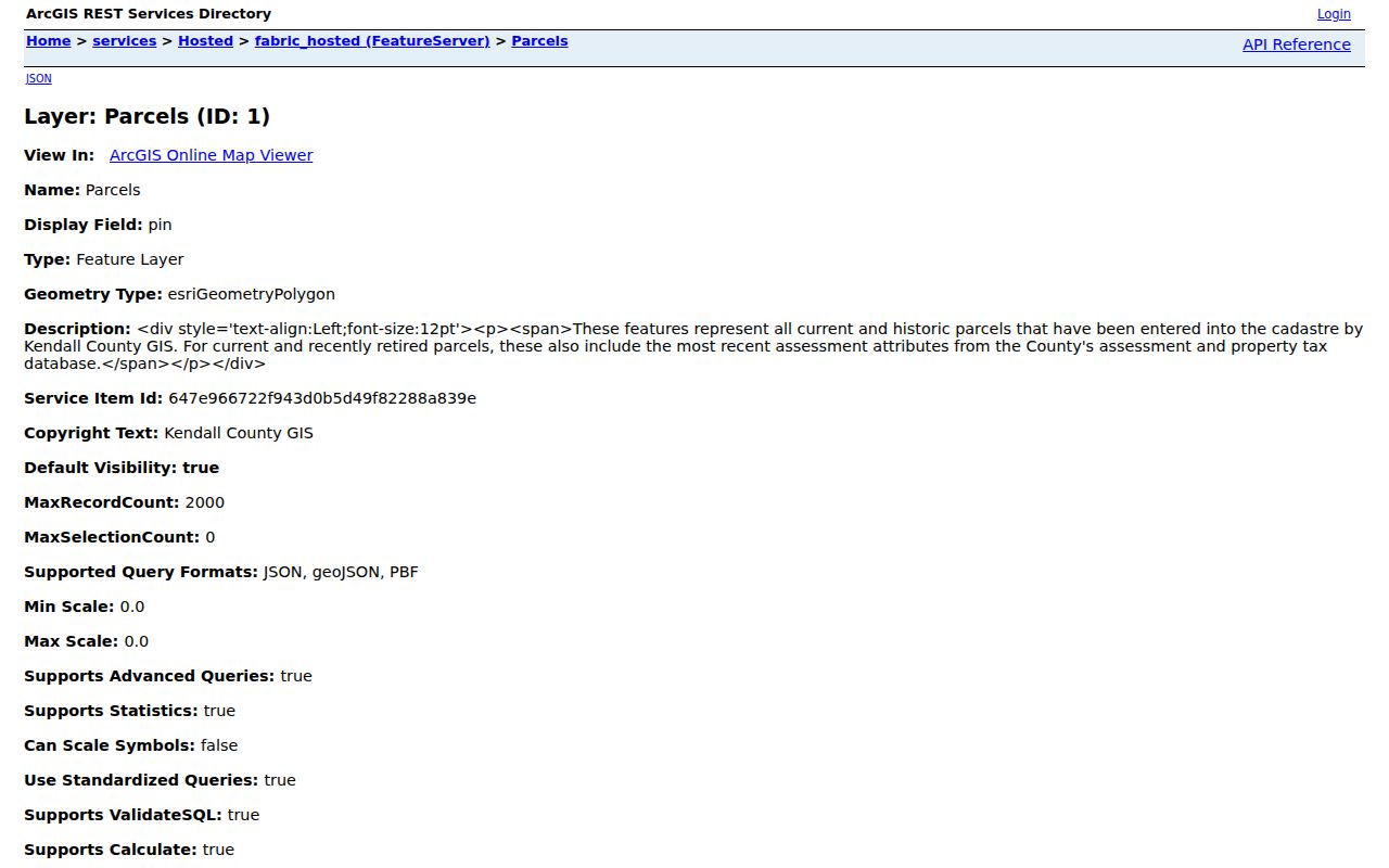
The layer’s time extent ended on 2026-07-13 when researched. Preserve that retrieval date, since live county data can change.
Trace Plainfield Owners Backward
A deed chain follows recorded transfers rather than street names alone. For a Will-side address, the Will Recorder search guide explains searches by name, PIN, address, and book/page. Its online document set is generally 1965 to current. Older records remain available through the office, document orders, deed books, library indexes, and atlases. For Kendall, the Recorder research room is the reliable fallback because a public remote search URL and cutoff were not confirmed.
- Find the current parcel. Save its PIN and legal description, and note whether the owner field comes from an assessor or GIS record.
- Locate the newest purchase deed or transfer instrument. Record its document number, recording date, grantor, grantee, and legal description.
- Take the seller, or grantor, and search for the deed by which that party acquired the same land. Match the parcel or legal description before accepting the name.
- Repeat one instrument at a time. Keep releases, liens, mortgages, and transfers distinct instead of treating every record as a sale.
- When the online index ends, request older documents in the Recorder office or move to the library’s grantor/grantee images, atlases, and deed-book references.
- Grantor and grantee
- The grantor transfers an interest. The grantee receives it. In a purchase deed, these usually correspond to seller and buyer.
- Chain of title
- The linked sequence of recorded transfers for the same land.
- Legal description
- The deed’s formal description of the land. It can remain useful when a street is renamed, renumbered, or newly annexed.
The successful Will Recorder Direct Search capture shows the official-linked online route used for modern instruments.
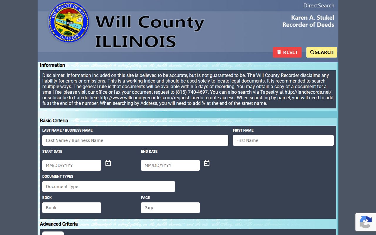
The image documents the access point, while the recorded instrument remains the source to cite for a transfer.
Will County Previous Resident Trail
Will’s Recorder accepts a name, address, PIN, or book/page route. The name form supports a percent wildcard, organizations belong in the last or business-name field, and street searches omit suffixes such as St, Dr, or Ave. PINs use the county’s dashed segment format, though the final four zeros may be omitted. Those rules help when a direct search for previous residents returns nothing.
The Recorder’s successful instruction capture is linked below. It explains the online window and points researchers toward older office records.
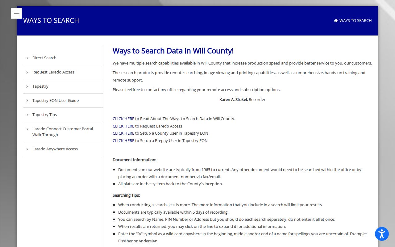
Save both the index entry and document number. An index is a finding aid. The deed image or certified copy supplies the recorded text.
Note: Will’s older-record fallback is an office or document-order route, so an empty modern portal result does not end a Plainfield chain.
Plainfield Sales Are Starting Points
The Will County sales search accepts sale-date ranges, sale-amount ranges, sale type, and subdivision text. It can locate candidate events around a known parcel, but an assessment sale record is not the full transfer instrument. Always return to the Recorder for grantor, grantee, document number, and legal-description evidence.
The successful image shows the county sales form used during research.
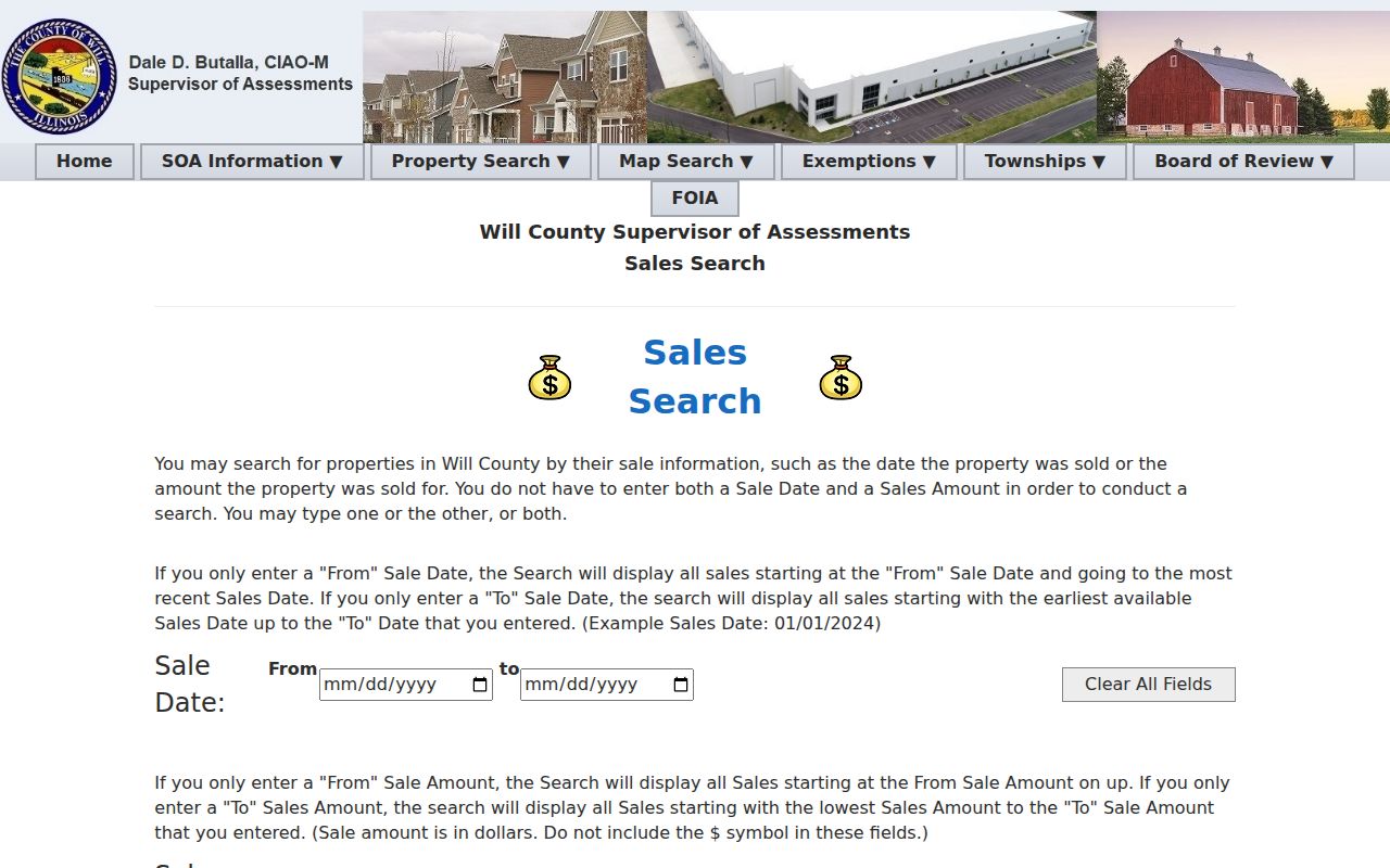
For Kendall parcels, Devnet also offers sale price and sale date ranges. Pair those results with the current or retired parcel record, then confirm the related instrument through the Kendall Recorder.
Plainfield House History Bridge
The Plainfield Area Public Library house-history guide connects present parcels to older evidence. It points to local histories, Historic Urbanized Core and rural farmstead survey forms, assessor and Recorder records, township sources, directories, aerial photographs, Sanborn maps, newspapers, maps, and historical societies.
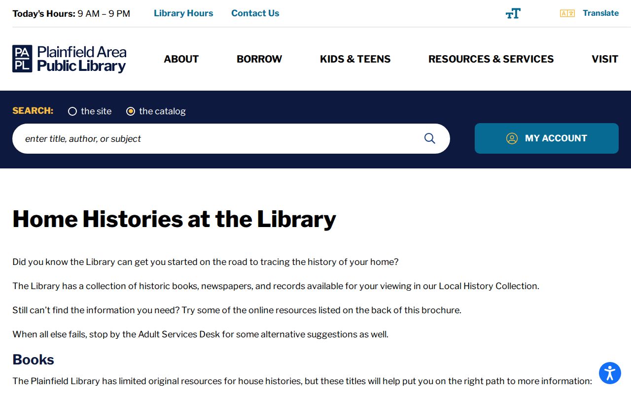
The guide helps choose the next source after a deed gap. A Sanborn map can show a building footprint or use. An atlas can place an old road, farm, lot, or subdivision. Neither alone proves who occupied the structure.
Plainfield Deeds Before Online Records
PAPL’s Will County Preserving History’s Heritage collection includes grantor/grantee indexes and original images for 1835 through 1885. It provides a concrete bridge between today’s parcel work and nineteenth-century land records. The 2009 Illinois State Library digitization grant is part of that preservation story.
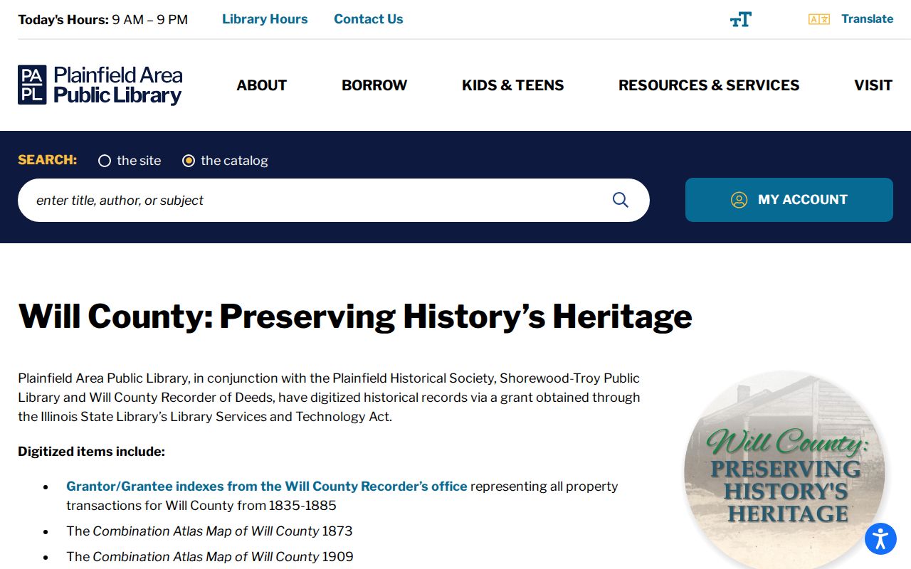
Search alternate spellings and initials, then connect the index reference to the same legal land context. Do not jump from a matching surname to a household claim.
Plainfield Address Changes Break Trails
A current street number may not appear in an old directory. Renamed roads, renumbering, annexation, subdivision, retired parcels, and postal-city changes can all split an otherwise sound trail. No exact Plainfield-wide renumbering year was established in the official research, so a specific date should not be guessed.
Compare the legal description and PIN with the 1873, 1893, and 1909 county atlases, Sanborn maps, current street layers, old directories, and newspaper wording. Will County 9-1-1 maintains the address source cited by the assessor. Kendall’s GIS keeps alternate PIN and current or retired parcel fields. When an old and new address seem linked, label the match as tentative until a plat, deed, map, or official address record connects them.
Plainfield Past Household Evidence
Owners are only part of the history. Directories, phone books, and census schedules can tie occupants to an address even when they did not hold title. PAPL has Plainfield/Lockport directories for 1973 to 1993, local phone-directory runs from roughly the mid-1920s through the 1950s, and regional Joliet volumes from selected years. Details of those holdings belong in the Plainfield city directory collection; here they serve as dated checkpoints in one address trail.
Use a simple process: choose the nearest directory year, record every listed name and the exact printed address, then find the nearest available federal census schedule. Compare township, county, household members, street order, and neighboring households. Move to the next directory year and repeat. The Census 72-year public-image rule limits recent schedules, and old enumeration boundaries may not match the present Village.
Obituaries, cemetery ledgers, and probate files can close or redirect the trail. The Plainfield Enterprise runs from 1893 forward on incomplete microfilm, with different library pages describing index coverage in different ways. Treat a newspaper name as dated evidence, not proof of a current address. Cemetery records can confirm death and burial context but say nothing about living residents.
Lawful use. Research Plainfield previous residents for house history, genealogy, estate work, or personal curiosity. Never use an address trail to track, harass, or harm a living person.
End each finding with a source label: deed owner, assessor name, directory occupant, census household, permit applicant, newspaper mention, or cemetery entry. Those labels prevent a plausible story from becoming an unsupported claim about who lived here before.