
Plainfield ZIP Directory Coverage
Official material does not support treating every nearby postal number as a Plainfield ZIP. An Illinois Commerce Commission listing identifies 60544, 60585, and 60586 with Plainfield. Census geography adds several overlapping ZIP Code Tabulation Areas, or ZCTAs, but those are statistical shapes rather than USPS delivery areas. The table keeps these two types apart. For any home, the USPS ZIP Code Lookup controls the address-level result, while the county parcel map controls jurisdiction.
| ZIP | Official association found | Postal facility evidence | How to use it |
|---|---|---|---|
| 60544 | Plainfield postal-city reference | Plainfield Post Office uses 60544-9998 | Confirm each street address with USPS |
| 60585 | Plainfield postal-city reference | Station name not confirmed in the research | Do not infer county from the ZIP |
| 60586 | Plainfield postal-city reference | Station name not confirmed in the research | Check municipal and parcel boundaries |
| 60490 | Census ZCTA overlap | No Plainfield postal-city proof located | Treat as statistical geography |
| 60543 | Census ZCTA overlap | Neighboring postal geography may use Oswego | Use a full-address result |
| 60564 | Census ZCTA overlap | No Plainfield postal-city proof located | Verify through USPS and county GIS |
The broader entries remain in the table because they explain why ZIP-only searches can look inconsistent. They are not being promoted to Plainfield postal ZIPs. The official sources also did not establish a PO-box-only or unique institutional ZIP for Plainfield, so none is claimed. That restraint matters: a familiar city label may cover an address beyond the Village boundary, while a Village parcel may appear within a broader statistical area.
Check a Plainfield Postal Address
USPS provides three different lookup modes, and each answers a different question. “By Address” is the best choice when a street number is known. “By City & State” returns postal ZIP associations for a city label, while “Cities by ZIP” works in reverse. None is a resident roll. The result normalizes mail data and should then be carried into the right public-record search.
| USPS mode | Fields | Useful result |
|---|---|---|
| By Address | Company optional; street required; unit optional; city and state required; ZIP optional | Postal formatting and ZIP for one address |
| By City & State | City; state | Current ZIP associations for the postal city |
| Cities by ZIP | ZIP | Postal city labels tied to a known ZIP |
Use the output exactly as shown when moving to the assessor or voter form. Small differences in the city label or street form can change a match. Because USPS results are live, record the day of the lookup instead of treating a screenshot as permanent evidence.
Plainfield ZCTAs Are Statistical
The Census Bureau ZCTA explanation says ZCTAs approximate ZIP delivery areas so statistics can be tabulated. They are built from Census blocks and do not define USPS routes. Some postal ZIPs have no ZCTA at all. That distinction explains why a Census map can associate Plainfield geography with six shapes while official postal-city material identifies a smaller set.
The successful image below comes from the Census Bureau ZCTA guidance. It supplies geographic context, not a list of homes or people.
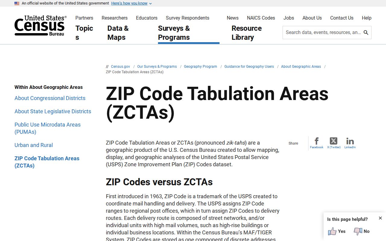
Read a ZCTA boundary as an analysis tool. For mailing, use USPS. For Village status and county jurisdiction, use the local GIS layers instead.
Find Plainfield Residents by ZIP
A ZIP code directory can narrow a known address, but the official systems found in the research do not provide a broad public list of everyone in a ZIP. The Illinois voter form verifies one known person and address. County property tools find parcels, owners, and site addresses. These are separate records with separate purposes. Work from a full address and keep the source date attached to each match.
- Enter the full address in USPS By Address. Copy the standardized street, city, state, and five-digit ZIP.
- Open the Village boundary service, then the Will or Kendall parcel viewer. Confirm the county from the parcel, not the postal city.
- Use Will County’s city and street fields or Kendall County’s city, site-address, and parcel fields. Inspect the individual result rather than assuming all records within a ZIP are Village records.
- For a known person, use the Illinois voter lookup only with the required name, birth date, ZIP, street number, and street name. It is not a name-only directory.
- When the task narrows to one road, continue with the Plainfield street directory workflow and verify each parcel separately.
Kendall’s ElectionLink also offers voter-record and polling-location cards, and its official guide supports address or parcel lookup for districts. The current Will County voter URL was not available during research. Use the Will County Clerk and the live state form rather than an old direct link.
A Plainfield ZIP Is Not a County
Plainfield crosses Will County and Kendall County. Postal delivery does not resolve that split. A 60585 or 60586 address might be associated with Plainfield, yet its land, tax, court, and voter records still belong to the county that contains the parcel. Start with the Village municipal boundary service, then inspect the matching county map.
County check. Treat the ZIP as a filter only. A PIN, parcel geometry, or official boundary layer is stronger evidence of jurisdiction.
Will County’s Data Viewer can display municipalities, parcels, streets, and address points. Kendall County’s map includes current and retired parcels plus site city, state, and ZIP. If the maps disagree or an address is new, contact the county mapping office before choosing a Recorder or assessor portal.
Note: Will County lists weekly street and address-point updates, so a newly assigned address may appear after an earlier saved search.
Plainfield Parcel Search Fields
The two county systems accept different inputs. Will’s address form does not present ZIP as its main filter. Kendall’s parcel data carries site ZIP within the result and allows several address, owner, sale, tax, and legal-description fields. The contrast is why a ZIP code lookup must move through county identification first.
| Portal | Search inputs | ZIP role |
|---|---|---|
| Will SOA Address Search | Street number; street name; city or town | Not a prominent form field |
| Kendall Devnet | Parcel, owner, number range, street, city, sale, tax, legal description | Site address context appears with parcel data |
| Kendall GIS | PIN or site-address autosuggest; map selection | Layer stores site city, state, and ZIP |
An assessor owner field identifies the name tied to the tax record. It does not identify all residents. A mailing address can differ from the site address, and a GIS shape is approximate unless the source says otherwise.
Plainfield ZIP Voter Matching
The Illinois voter registration lookup uses a ZIP as one part of an exact verification. Its required sequence is first name, last name, birth date, five-digit ZIP, street number, and street name. The street selector is populated after the ZIP is entered. No bulk public result or export was observed.
This makes the state form useful when the person and address are already known. It does not support browsing residents ZIP by ZIP. A failed result may reflect formatting, a move, a registration change, or the wrong county and should not be read as proof that a person has no connection to Plainfield.
Plainfield Post Office Evidence
The official Plainfield Post Office page lists the facility at 14929 S Van Dyke Road with 60544-9998. That page is direct evidence for the station and its ZIP+4, but it does not define every delivery boundary in the Village.
The manifest image below records the successful capture of the official USPS facility source.
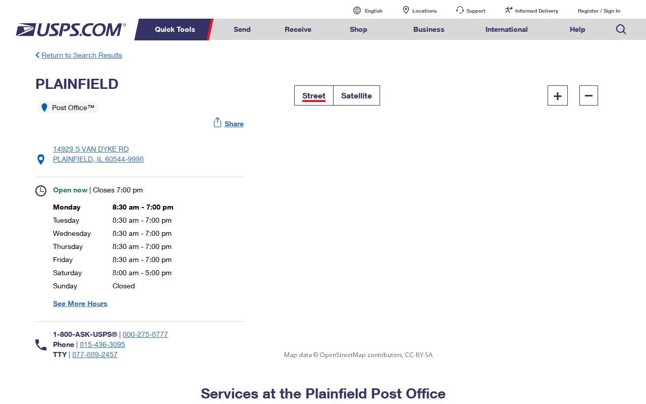
The address-level ZIP tool remains the stronger choice for a home. Station details describe a postal facility, while the lookup describes how USPS recognizes a specific delivery address.
Explore Plainfield ZIP Geography
The Census geography explorer helps compare ZCTA shapes and other statistical areas. Its successful capture belongs beside the ZCTA explanation because it shows where those boundaries can be explored without mistaking them for postal routes.
Overlay the statistical view mentally with the Village and county maps. ZCTA, municipality, county, and postal city can all describe the same general area while drawing different lines.
Plainfield ZIP and Village Limits
A Plainfield ZIP code directory cannot substitute for the incorporated boundary. The Village boundary is an administrative layer, county lines choose the land-record office, USPS assigns delivery information, and Census ZCTAs support statistics. A nearby address can share a ZCTA or postal association without becoming a Village parcel. Conversely, a Plainfield address still requires a county check before any deed, tax, court, or voter search.
- ZIP and ZIP+4
- A five-digit ZIP groups delivery geography. The extra four digits narrow delivery to a smaller segment, such as a block or facility.
- PO-box ZIP
- A postal code used for post-office boxes rather than ordinary street delivery. None was confirmed for Plainfield in the research.
- Unique ZIP
- A code assigned to one high-volume organization. No Plainfield example was established in the official sources reviewed.
- Carrier route
- A USPS delivery grouping within a ZIP. It is not the same as a Census ZCTA, county, precinct, or Village ward.
Use the smallest reliable unit for the task. USPS answers the mail question. A parcel map answers the county question. The assessor and Recorder answer property questions. The voter form checks one known registration. Combining those roles carefully produces a useful result without claiming that a ZIP identifies every Plainfield resident.